Drones Flying During the Eclipse to Know More About Weather

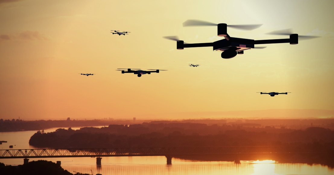
When Americans stopped on Monday, August 21 to marvel in the beauty of the solar eclipse, atmospheric scientists and meteorologists worked behind the scenes to gather information about the climate and weather. Flying a drone in the path of totality helped them to understand new aspects about our current weather conditions and the effect that the eclipse played in all of it.
A research team from Oklahoma State University and the Nebraska University flew drones into the path of the eclipse. Gathering information such as the temperature, humidity, wind, and barometric pressure, the team was able to steer the drones into areas where weather balloons and manned planes were unable to go. This study was conducted in part with a larger 4-year project called Collaboration Leading Operational Unmanned Development for Meteorology and Atmospheric Physics or CLOUD MAP for short.
The area that benefitted the most from this study is the lower atmospheric layer, which is below where airplanes fly, but above large structures. Researchers were able to study what happens on the ground that causes things such as severe thunderstorms and tornados. They were able to measure the impact during the diurnal cycle, which is when the sun comes out and begins to heat the ground. This is typically when unstable weather phenomena begins. The moist bubbles detach from the air and begin to form storms. They studied how the rapid decrease in the sunlight can affect the weather patterns in the areas that experienced totality. This simulates what happens when we go from daytime to nighttime. Once the radiation from the sun is taken away, the cold air replaces the warm air quickly, thus causing strange weather patterns.
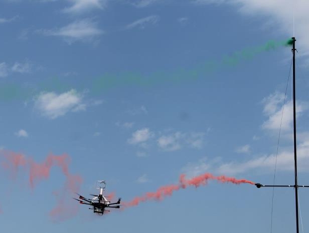
Each drone flew throughout the entire day on Monday, and each was equipped with light sensors and various measuring devices to collect the needed data. Throughout the day, the drones sent information in via various ground stations so that a record could be kept and compared to the numbers that were gathered on a normal day. Visual lights as well as infrared lights were also used on the drone. This was so any strange phenomenon would not only be documented with measurements, but also with a camera. This will help to understand solar darkness means and what happens to the weather following it.

