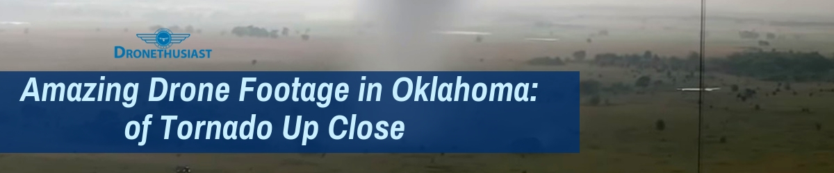
Video Taken From Drone Captures A Huge Tornado Up Close
As listed on our customer support page, Dronethusiast’s headquarters is located in the heart of the United States – Lincoln, Nebraska. Many of our writing staff is also from this part of the country, or near there – I myself grew up in the Kansas City area. This means we all have a lot of familiarity with the destructive, awe-inspiring power of tornados.
As storms rage across the Midwestern United States this rainy spring, tornados are inevitable, and sure enough a major cyclone traveled across the state of Oklahoma just last week. The cyclone touched down around 12:30 PM CST approximately 10 miles east of Interstate 35. It is unusual to see such a funnel in the early afternoon, but record moisture levels are causing storms to arrive earlier in the day by fueling the creation of volatile atmospheric conditions. Fortunately, as the weak tornado lazily drifted northeast for a few miles, it did no major damage to people or property.
Even more fortunately, a storm chaser named Brandon Clement – who operates under the banner of “WXChasing” – was following the supercell and already had his drone (make and model not reported) on hand. The lack of rain and hail meant that the drone could capture some of the clearest up-close footage ever taken of such a weather event, and the winds of the storm were so tightly coiled around the tornado that the aircraft itself experienced very little turbulence as it flew.
The result is an absolutely gorgeous video which you can see below:
The four-minute video footage shows a prominent condensation funnel around the tornado’s low-pressure column, which is what makes the cyclone visible even though it wasn’t strong enough to pick up much dust or debris. As it crosses the roadway between a pair of utility poles, you can see that the cyclone itself is probably only twenty feet wide or so at the base. You can also see flashes of the white “subvortices” – smaller funnels within the main whirl that can do significant additional damage if the tornado is much larger at this one.
At the end of the video, the funnel begins to visibly decay – watch for when it starts to lean to the right. This shows that the parent cloud at the top of the tornado is moving faster than the vortex at the ground. As the funnel stretches, the winds will briefly boost (which might be why Clement chose to end the video and fly away at this point) but will soon settle down as the cyclone itself withers away.
This is truly one of the most impressive videos ever taken of such an event, the result of a skilled and incredibly lucky photographer just happening to be in the right place at the right time. A number of prominent meteorologists have commented on the footage, with The Weather Channel’s Stephanie Abrams calling it “a tornado like you’ve never seen before” and Oklahoma’s own Rick Smith (warning coordination meteorologist for the OK branch of the National Weather Service calling it the most “amazing” footage “I’ve ever seen!”
As for Clement himself, he told the Washington Post that he had “been working on getting that shot for about three years now. I’ve probably done a half-million miles chasing across the country by now. But this one is pretty special.”
Normally we like to end our news articles by commenting on the potential of a given story to affect the future of drone technology. And it’s certainly possible that drones could be used to improve the tracking and monitoring abilities of storm chasers and meteorologists in the near future.
But mostly, this is just an incredibly cool video that we’re all lucky to get the chance to witness. And that’s more than enough for us.
Kennedy Martinez
kennedy@dronethusiast.comKennedy Martinez is a resident writer who joined Dronethusiast at the beginning of 2019. She has years of experience reviewing drones and other tech products. When it comes to flying drones, Kennedy loves the ability to create artistic videos from a unique point of view. Kennedy enjoys researching new drones and other exciting products that are available to consumers which is why she is committed to creating the best buyer's guides for our readers.


